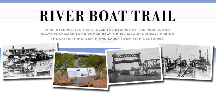
South Australia's River Boat Trail from Border Cliffs - Goolwa

During the latter half of the nineteenth and early twentieth centuries the River Murray was a major inland highway for pastoralists, settlers and travellers. Fleets of paddle steamers and their barges carried produce from stations and farms to transit points downriver.
There were floating shops bringing goods to the settlers, mail steamers crossing the lakes, mission boats and passenger liners, as well as small fishing boats, ferries, powerful milk launches and boats that helped build the weirs and kept the channels free of snags.
Ports, trading companies and shipbuilding facilities were established, and many of the Murray’s settlements developed around the trade brought by the river boats.
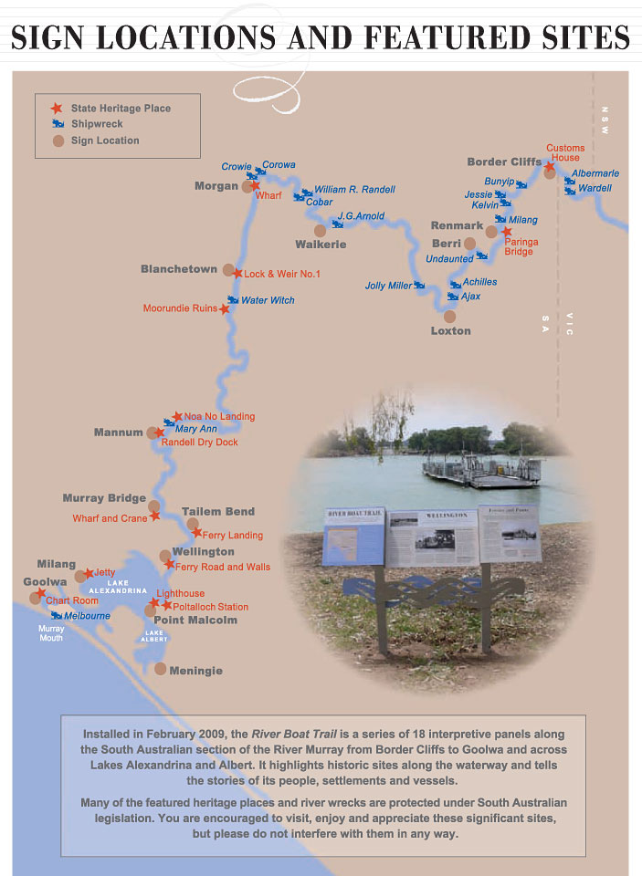
Interpretive panels are located at:
Border Cliffs | Renmark | Berri | Loxton | Waikerie | Morgan | Blanchetown | Mannum
Murray Bridge | Tailem Bend | Wellington | Meningie | Point Malcolm | Milang | Goolwa

Please do not interfere in any way with ship-wrecks and land based heritage site
The River Boat Trail is one of many shipwreck trails installed by the Department for Environment and Heritage throughout South Australia.
For further information about the River Boat Trail (SA)
Department for Environment and Heritage
Phone: (08) 8124 4960
Email: heritage@saugov.sa.gov.au
Published with permission of Government of South Australia
Department for Environment and Heritage
Interpretive panels are located at:
Border Cliffs | Renmark | Berri | Loxton | Waikerie | Morgan | Blanchetown | Mannum
Murray Bridge | Tailem Bend | Wellington | Meningie | Point Malcolm | Milang | Goolwa
Tell your friends you found this at murrayriver.com.au!
Copyright Discover Murray 2026. This site or any portion of this site must not be reproduced, duplicated, copied, sold, resold, or otherwise exploited for any commercial purpose that is not expressly permitted by DISCOVER MURRAY.


 Ireland The Voyage
 Cirque Nouvelle
 Lewis Major: Triptych
 Song Sung Blue. The Neil Diamond Experience featuring Troy Harrison. A Story in Every Song.
 Kevin Bloody Wilson Aussie Icon Tour with special guest Jenny Talia